Image 1 of 2
Padstow Harbour Commissioners
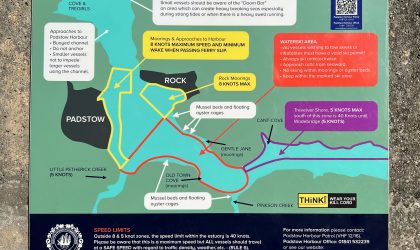
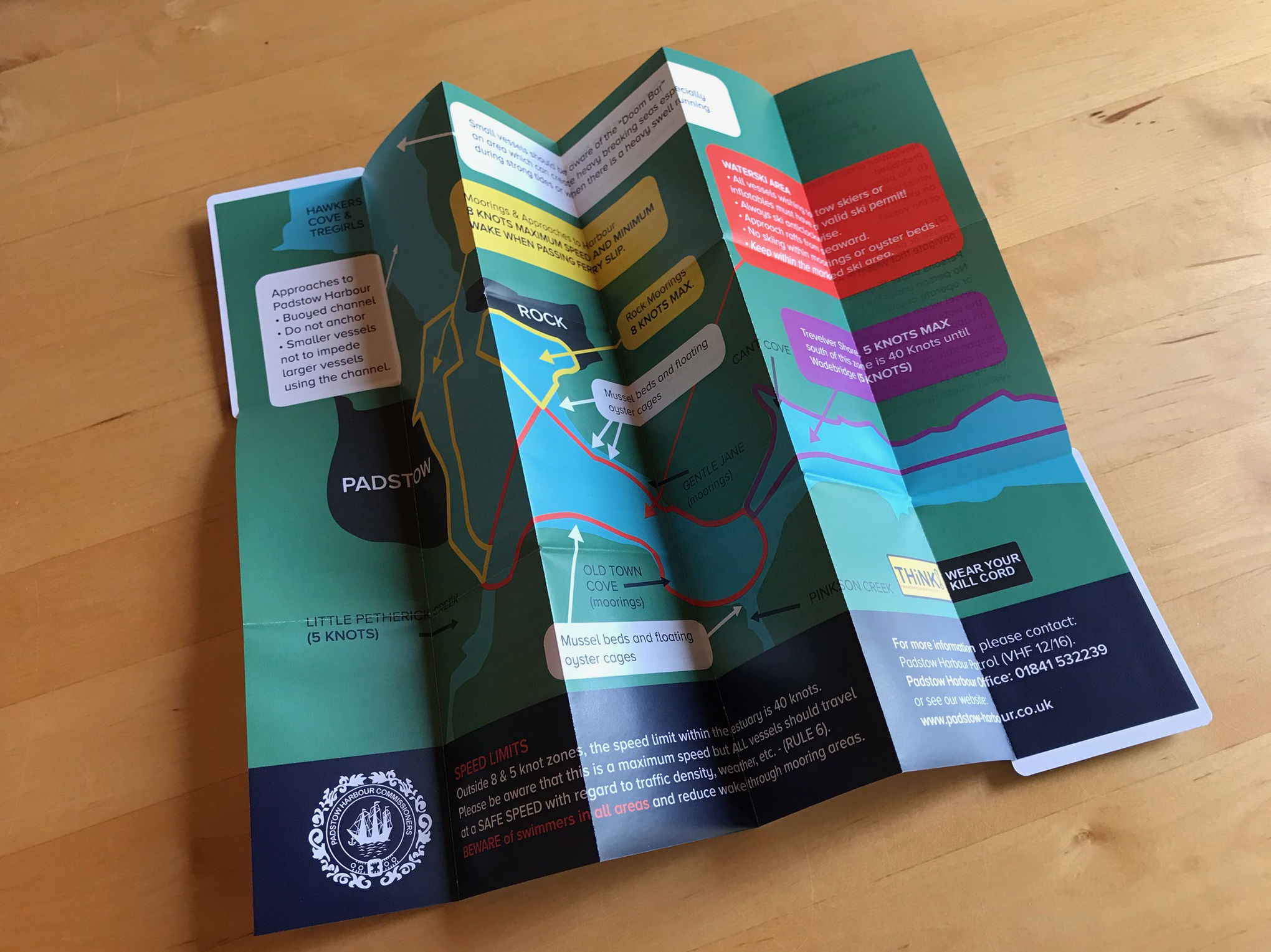
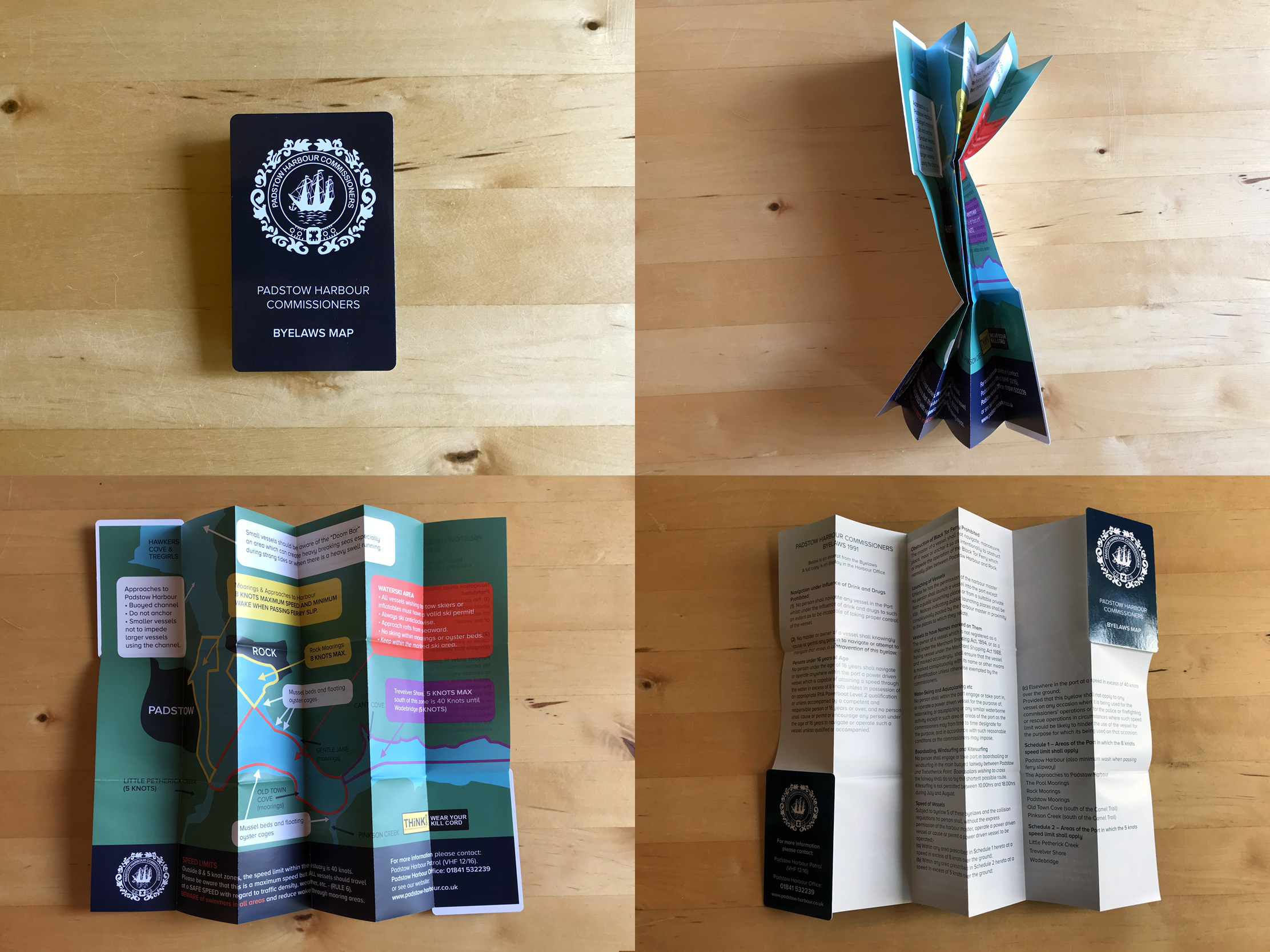
The Padstow Harbour Commissioners asked us to design a practical and durable fold-out map for visitors and boat users. The result is a pocket-sized, concertina-fold map of Padstow harbour and the Camel estuary.
The user-friendly design clearly displays vital information, including water speed limits and local bylaws, on a splash-proof, durable card finish. This bespoke map design features our simplified vector illustration, ensuring it’s easy to read and use, providing a valuable resource for anyone navigating the harbour.
Follow this link to see more examples of our map design.
More work for Padstow Harbour